4 Uses of Satellite Technology in Combating Hurricanes and Disasters
Hurricanes and bad weather are part of nature and have occurred for thousands of years. While ancient civilizations associated these natural disasters with omens and superstitions, the modern era has developed tracking systems that closely monitor each advancement of the storm.
Satellite technology has been at the forefront of this advancement. In this blog post, we will assess the role of satellite telecommunication in mitigating the effects of Hurricane Hilary and other storms. The monitoring and documentation of hurricanes date back to the 19th century when meteorological science was introduced to reduce loss of life and property during natural disasters.
At its most nascent stage, observatories were established to provide essential weather updates, which would then be shared via telegram to the relevant authorities. The emergence of satellite technology in the 1960s revolutionized the weather-tracking system. Satellite technological tools enabled the weatherman to monitor and assess the structure and movement of the storms and hurricanes, generating more accurate data on their intensity and disaster magnitude.
Despite the increase in hurricanes, advancements in computer modeling and simulation of data generated by satellite tools have further enhanced hurricane forecasting and reporting. This accuracy helps governments and relevant authorities to better prepare for disasters and evacuate people in affected areas ahead of time.
How is Satellite Communication Used to Mitigate Hurricane Disasters?

Today, many industries use satellite communication services to avert and mitigate hurricane disasters. These range from companies operating in the marine sector, meteorological services, government authorities, and humanitarian aid operations. In this section, we examine a few examples of these.
Aerial Mapping and Surveillance
High-resolution images of regions affected by hurricanes can only be captured accurately by satellite imaging. Such images help relevant authorities assess the damage caused and strategize how to help victims. Additionally, humanitarian aid groups use these images to map their delivery routes, considering damaged infrastructure, flooded regions, and accessible routes.
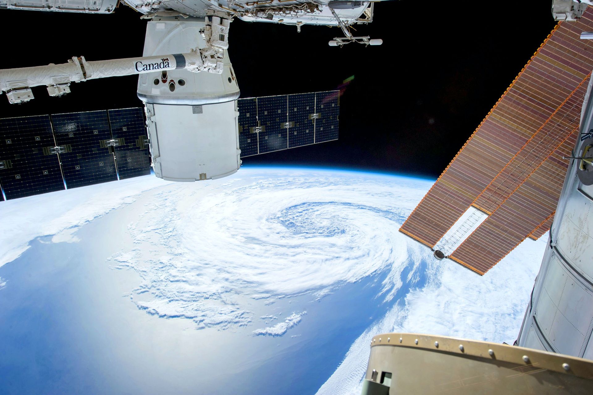
Weather Monitoring and Forecasts
Weather monitoring and forecasting is one of the critical uses of satellite technology as it has helped to reduce the impact of weather-related disasters such as hurricanes. From rainfall patterns to wind speeds and storm tracking, data generated in real-time by satellite technology facilitates accurate surveillance of hurricane paths and intensity. This informs the best routes for maritime companies and essential evacuation hotspots for government officials.
Communication
Most companies in the maritime industry use satellite phones for communication. These phones have strong signals and can be used to alert authorities in emergencies. Similarly, disaster relief providers and first responders use sat phones to communicate with their teams during mission-critical rescue missions. When landlines and other communication infrastructure are destroyed in the face of hurricane disasters, relief coordination among several stakeholders during emergency and rescue operations is only possible through satellite communication.
Public Broadcasting
Public announcements and updates are crucial during hurricane and weather disasters. Many media companies rely on satellite radio and television to broadcast weather updates and safety instructions to people in affected regions. Access to vital information such as disaster alerts, best traffic routes, safety locations, and emergency contacts help people in affected areas to make informed decisions and avert the impact of weather disasters.
Even though climate change has increased the number of tropical storms worldwide, technological advancements and innovations in the satcom industry continue to mitigate the impact of such disasters. Whether in facilitating relief coordination, communication, or mapping out images of affected areas in real-time, satellite technology is critical in reducing the number of casualties and victims of hurricane disasters.